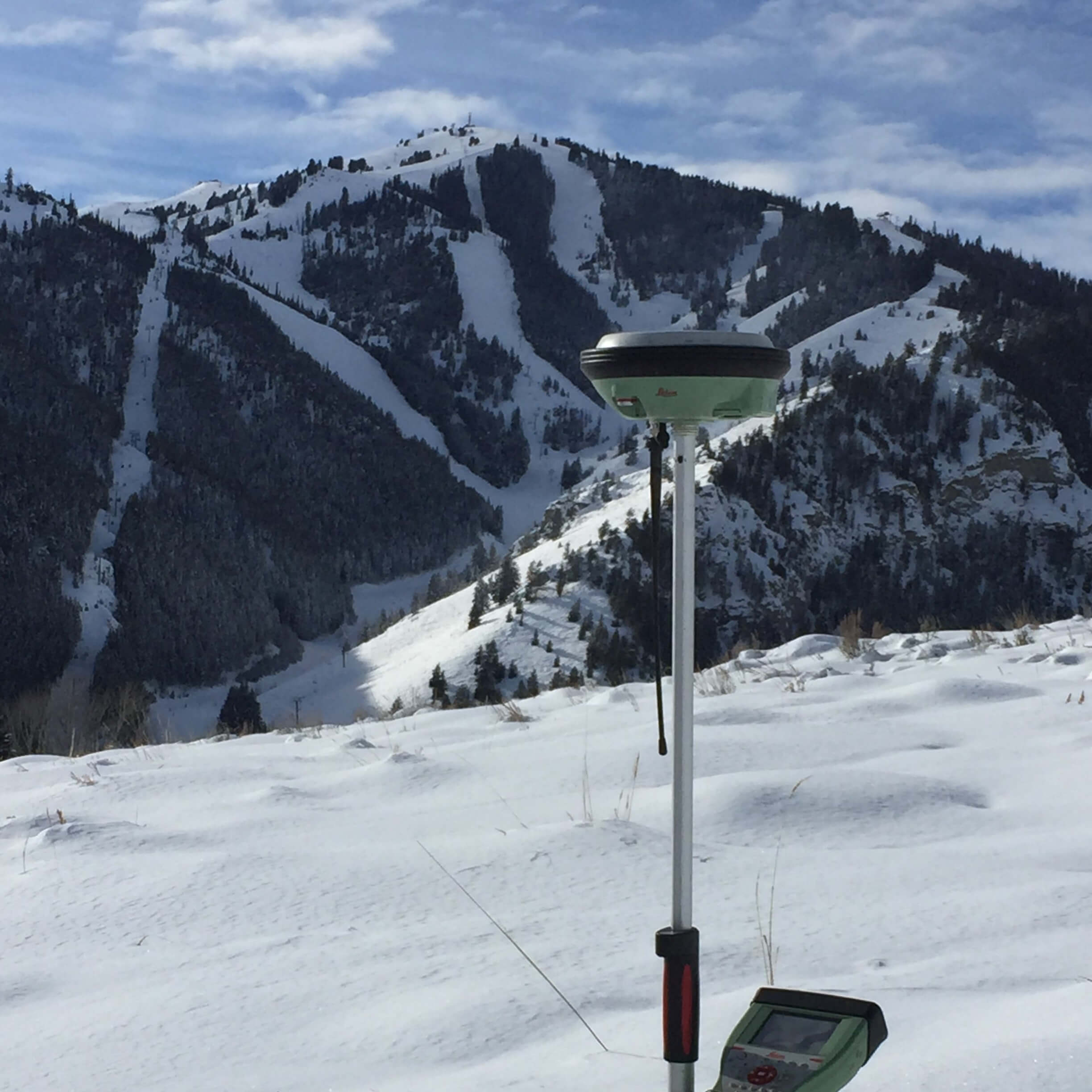
Surveying
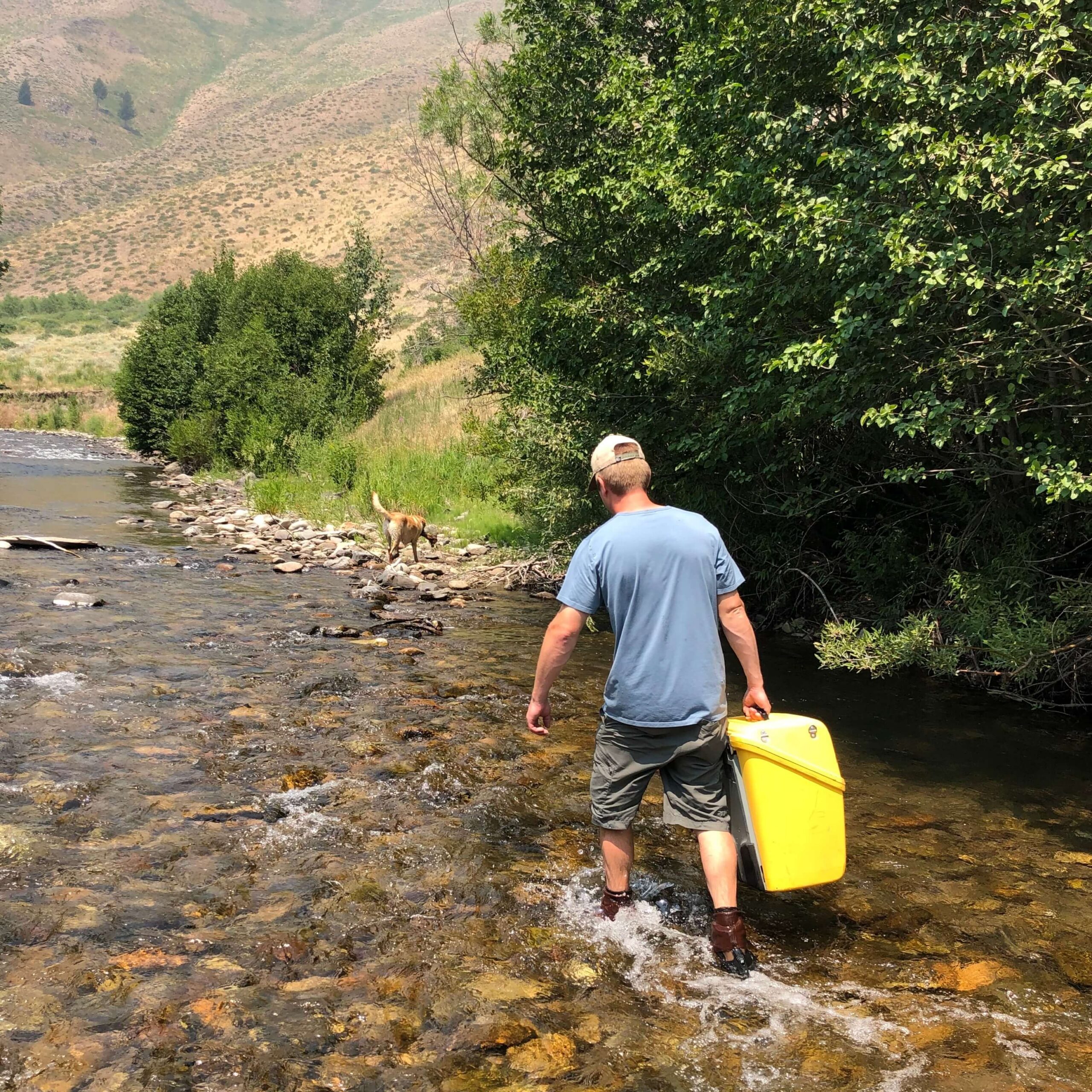
There’s a reason our surveying team has a long-standing reputation for accuracy, reliability, and professional integrity in the Wood River Valley. Before fieldwork begins, we conduct detailed research and discovery to ensure our work is grounded in a complete understanding of existing conditions and property rights. With a large, seasoned team and a commitment to responsiveness, we provide the capacity and availability needed to meet demanding schedules without compromising precision. By combining diligence and experience with the latest survey and geospatial technology, we gather accurate data and provide clear communication from initial consultation through final deliverables.
Land Surveying
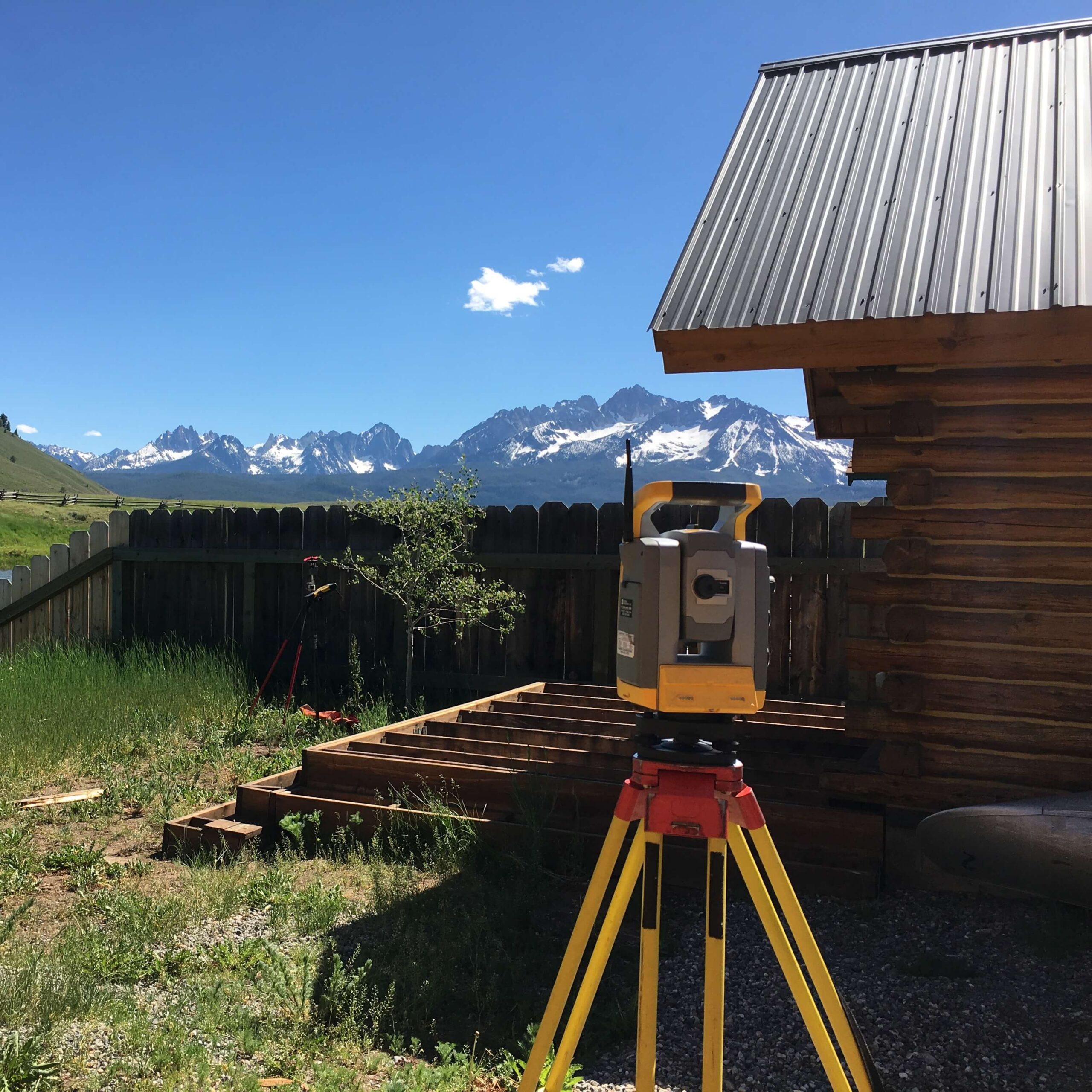
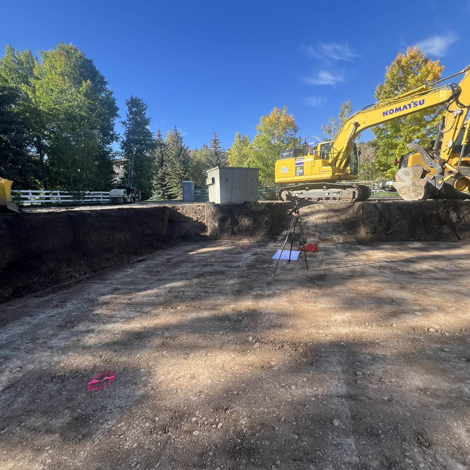
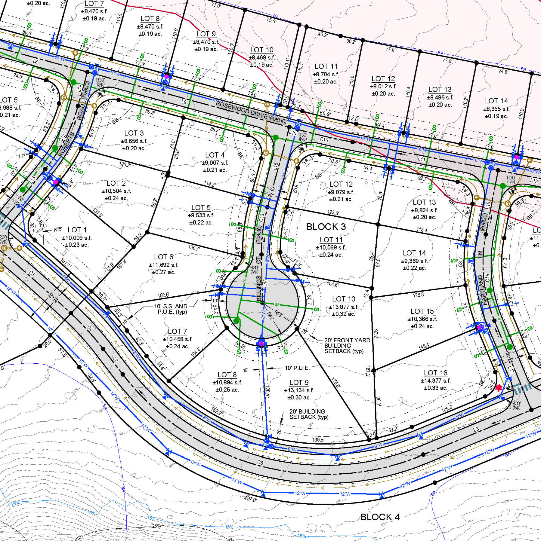
Our land surveying services deliver accurate, precise data to support land development, engineering and architectural design, property transactions, and regulatory compliance. We provide boundary, topographic, ALTA (American Land Title Association), platting, 3D scanning, photogrammetry, and construction staking, each carefully executed with the latest geospatial technology. From establishing property boundaries and documenting existing conditions to verifying constructed improvements and supporting floodplain analysis, our surveys reduce risk and support sound decision-making.
Staking & Flagging
Staking and flagging services translate survey data into clear, actionable information in the field, helping clients visualize projects and construct with confidence. We provide construction staking to accurately locate improvements, alignments, and grades; staking for viewing to support planning, review, and real estate transactions; and precise marking of property corners and boundaries to establish limits on the ground. Our goal is to minimize errors, reduce rework, and keep projects aligned with approved plans and property rights.
Platting
We guide property owners and developers through both the technical work and the application process required to create, modify, and record legal parcels of land. We prepare preliminary and final plats, subdivisions, lot splits, lot consolidations, and manage lot line shifts, land swaps, plat amendments, and building envelope adjustments with precision and clarity. By navigating municipal submittal requirements, coordinating with reviewing agencies, and applying a thorough understanding of local codes and standards, we help streamline approvals with a strategic lens and established municipal relationships. Our plats are accurate, compliant, and ready for recordation.
Legal & Easements
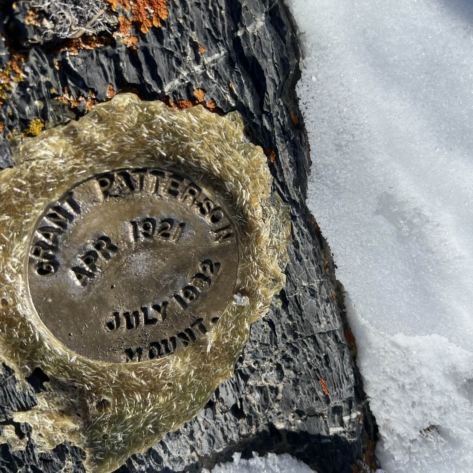
Precise surveying and documentation clearly define property rights, boundaries, and land use constraints. We prepare accurate legal descriptions, easement exhibits to coordinate with stakeholders, records of survey, and constraints maps that support development, transactions, and regulatory review. We also assist with annexations by mapping jurisdictional limits and coordinating required survey information for municipal submittals. Through careful research and a thorough understanding of local and state requirements, we deliver defensible documents that reduce risk and stand up to legal and administrative scrutiny.
Certification
We provide verified survey and evidentiary information used for permitting, financing, insurance, and regulatory compliance. We’ll prepare foundation and grade certificates, slope analyses, and elevation certificates to document existing or improved conditions and confirm conformance with approved plans and applicable standards. For properties affected by waterways or flood zones, we provide floodplain and flood hazard mapping to support development decisions, FEMA coordination, and risk management. Each deliverable is produced with careful analysis and clear documentation to ensure it is reliable and accepted by reviewing agencies.
Mapping & Imaging
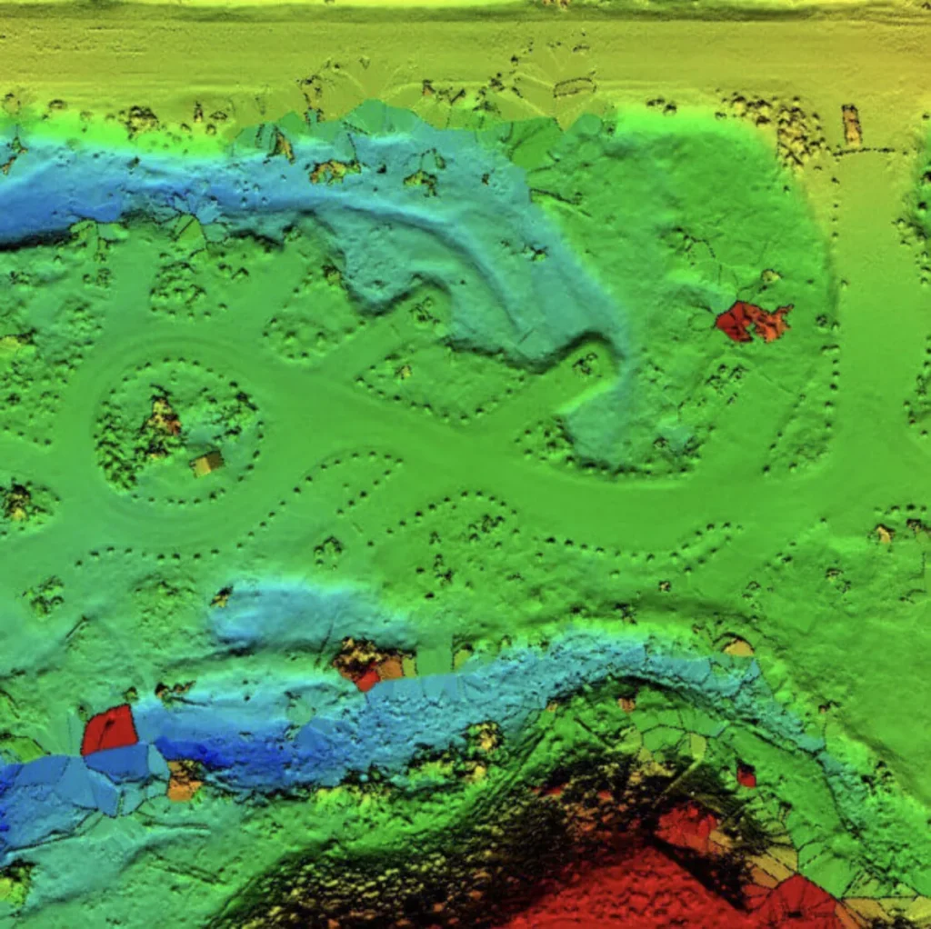
Our mapping and imaging services deliver high-resolution spatial data and visualizations that support planning, design, and analysis across a wide range of projects. We provide aerial imagery, photogrammetry mapping, 3D laser scanning, and point cloud modeling to capture existing conditions with exceptional detail and accuracy. These datasets are integrated into GIS platforms and digital terrain models, and used to produce clear exhibit maps, architectural renderings, solar shadow studies, and other decision-supporting graphics. By combining advanced imaging technologies with sound survey control, we produce reliable mapping products that are both technically robust and visually informative.
Get Your Land Project Started Right
Accurate data is the foundation of every successful project. Partner with a team you can trust for precise, efficient, and expert land surveying services.